PROJECTS

Things I've made: live maps built from open data. Press play to open one.

NOTICE The games now have their own page: Channel 4 · Games ▶

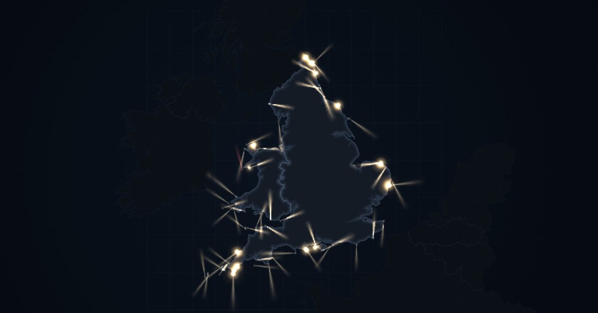
Night map of England and Wales with lighthouse beams sweeping out to sea
INTERACTIVE MAP · 2026

Lights of England & Wales

A live night map of the coast. Every major lighthouse sweeps its beam at its real charted rhythm.

  • 59 lighthouses, lit from an hour before sunset at each one
  • Zoom in for about 2,200 buoys and wrecks
  • Frame mode to run it full screen on a tablet
▶ PLAY
Night map of the UK with power stations glowing by fuel and interconnector flows pulsing across the sea
LIVE MAP · 2026

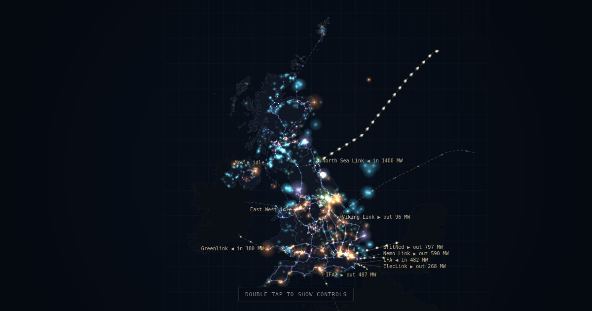
The UK Grid

Every power station of 10 MW or more, glowing by fuel and brightening with what that fuel is generating right now.

  • About 1,270 stations and the 400kV and 275kV network
  • Live interconnector flows to France, Belgium, the Netherlands, Norway, Denmark and Ireland
  • Live generation mix, updated every 5 minutes
▶ PLAY
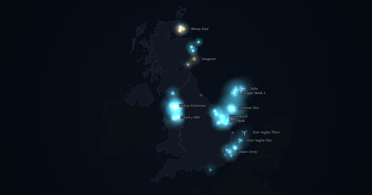
Night map of the UK with offshore wind farms glowing in the North Sea, Irish Sea and Moray Firth
LIVE MAP · 2026

Offshore Wind, Live

Every offshore wind farm round Britain, glowing with what it is generating right now.

  • More than 40 farms, from Dogger Bank to the Moray Firth, Liverpool Bay and Sussex
  • Live output for each farm, updated every 5 minutes, and amber where the grid has asked it to turn down
  • Zoom in to see every turbine; tap a farm for its last 24 hours
▶ PLAY
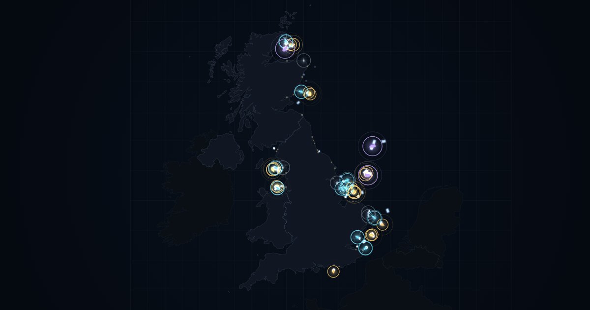
Night map of the UK with crew boats circled between ports and offshore wind farms
LIVE MAP · 2026

Out to the Turbines

The crew boats that carry technicians out to Britain’s offshore wind farms, tracked live from their AIS signals.

  • Boats working at the turbines, heading out or home, or in port
  • Trails show where each boat has been; tap one to see where it’s bound
  • The busiest farms right now, updated every minute
▶ PLAY
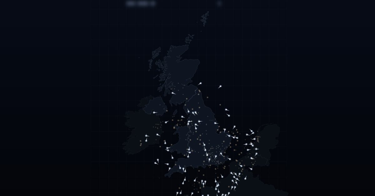
Night map of the UK with aircraft drawing short white contrails
LIVE PHYSICS · 2026

Contrail Forecaster

Every aircraft over the UK draws a trail only where the air at its height is cold and humid enough to form one.

  • Live positions for hundreds of aircraft, updated every 15 seconds
  • The Schmidt–Appleman criterion worked out for each plane, using its own measured air temperature
  • Lingering trails drift with the real wind and spread as they age
▶ PLAY